Articolo disponibile anche in: Italian
From an invisible city to a myth; from a myth to the contemporary rebirth and the beginning of a new season of studies, evaluation, rediscovery and historical research on the area of Semifonte, one of the symbolic locales of Medieval Tuscany.
Almost 1000 years gave passed from when the inhabitants of the antique city, located in the area between Florence and Siena, proclaimed in sing-song: “Firenze…move over. Semifon is becoming a city”.
Its gradual growth as a commercial power threatened to weaken the giants of feudal politcs and created a myth before being devastated. It was a city which, for its urban and economic solidity soon fell from an assault by trickery and was razed to the ground in 1202.
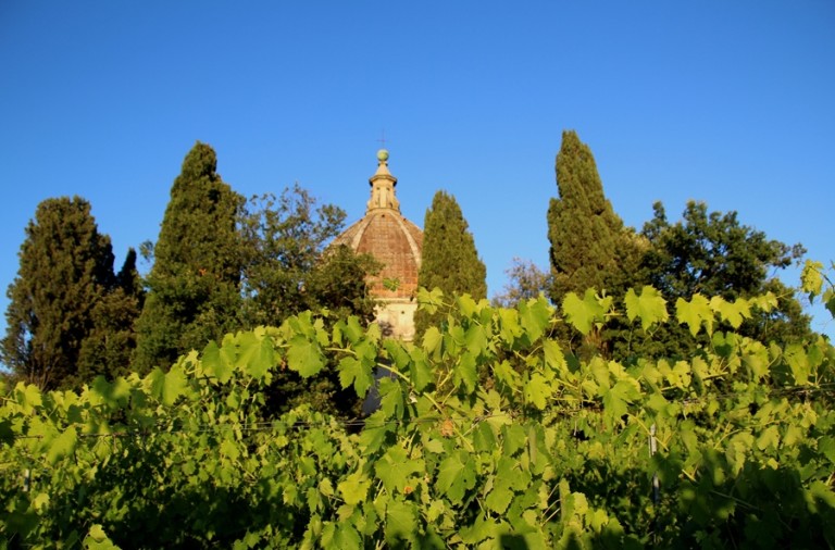
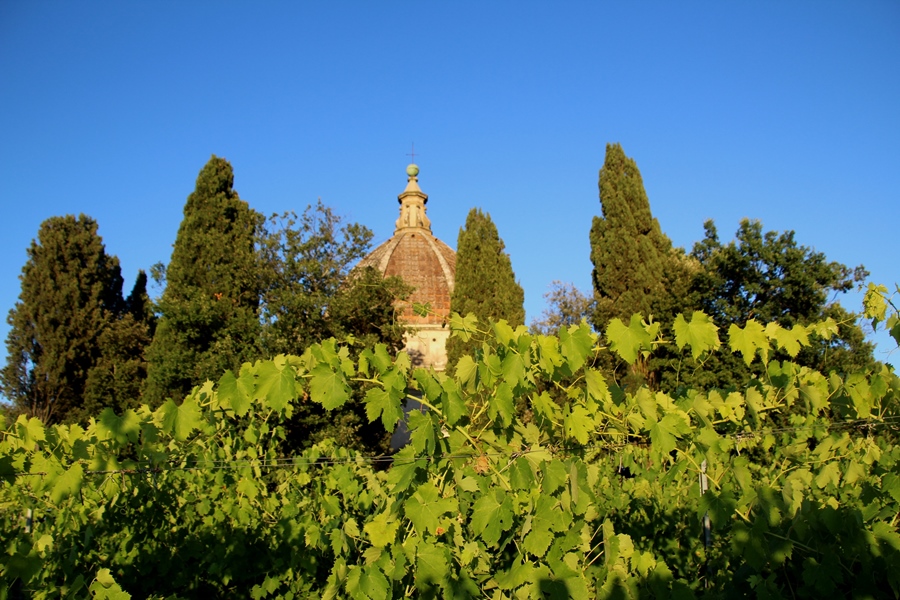
But if 800 years ago, Florentines tried to cancel the city from the face of the earth, (notwithstanding the construction of the Duomo of Semifonte by Santi di Tito in 1577), today that same loved and hated land is trying to tell us something new about its secret history. This will be accomplished through mathematical architecture and territorial archeology.
This method is neither traditional nor invasive, and will be done through combining sophisticated and innovative instruments; small drones and georadar to identify the myth that has been wating to be unveiled for some time. Forty years after the last archeological study, we return to investigate the city of Semifonte.
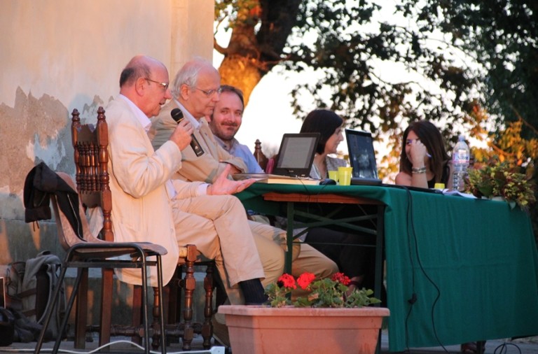
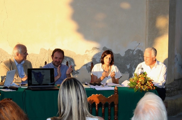
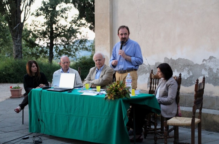
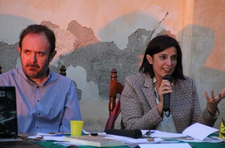
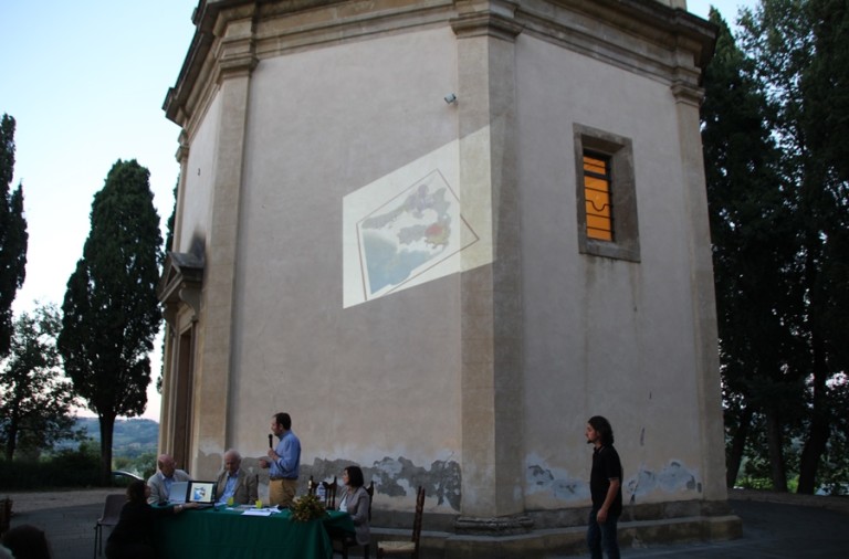
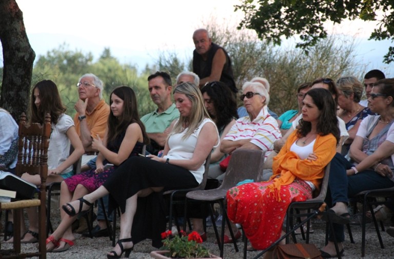
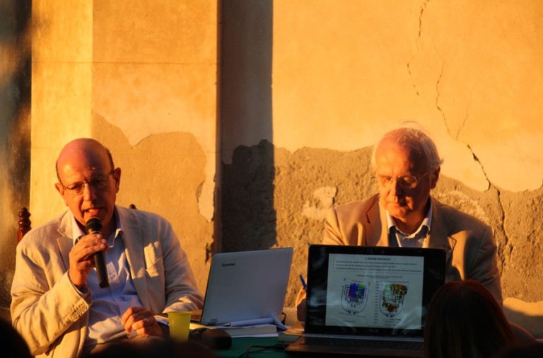
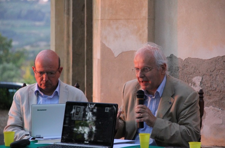
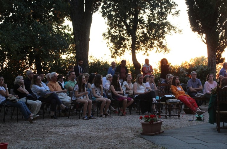
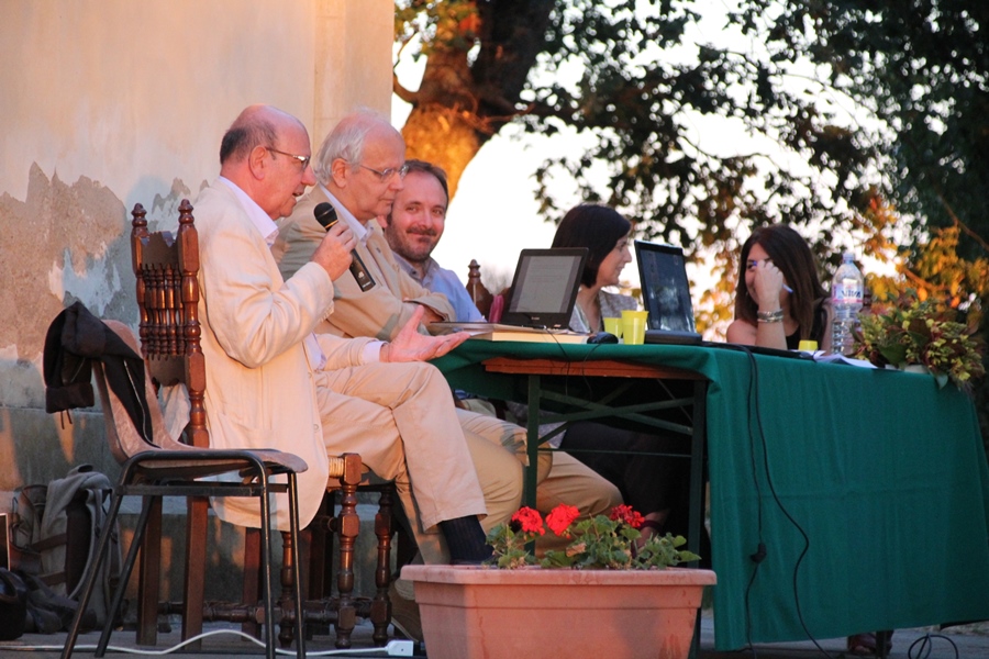
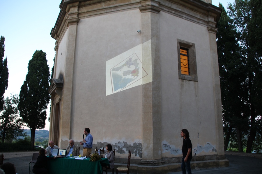
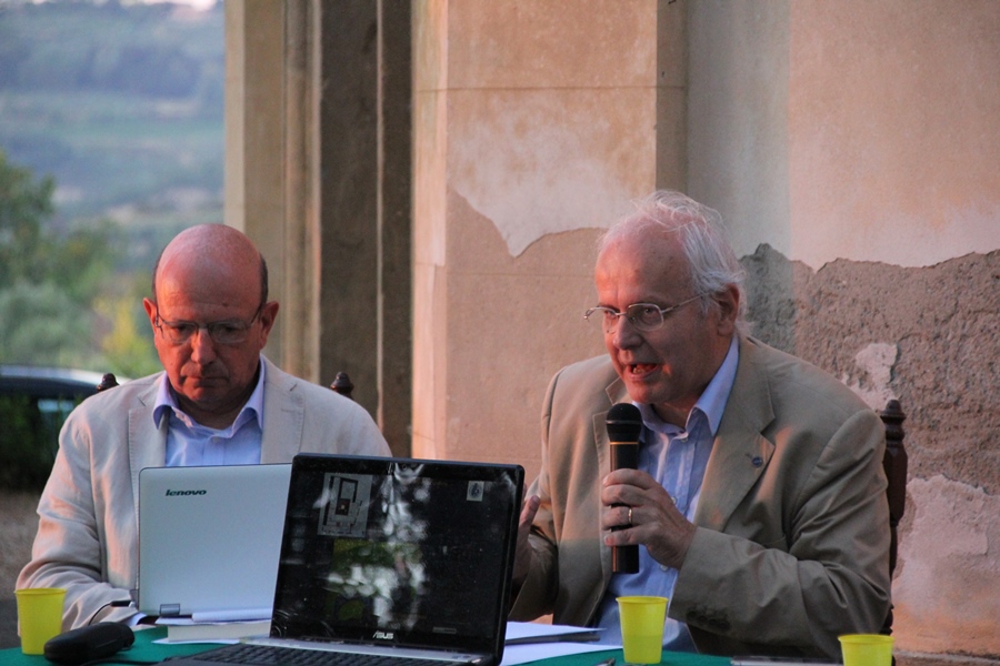
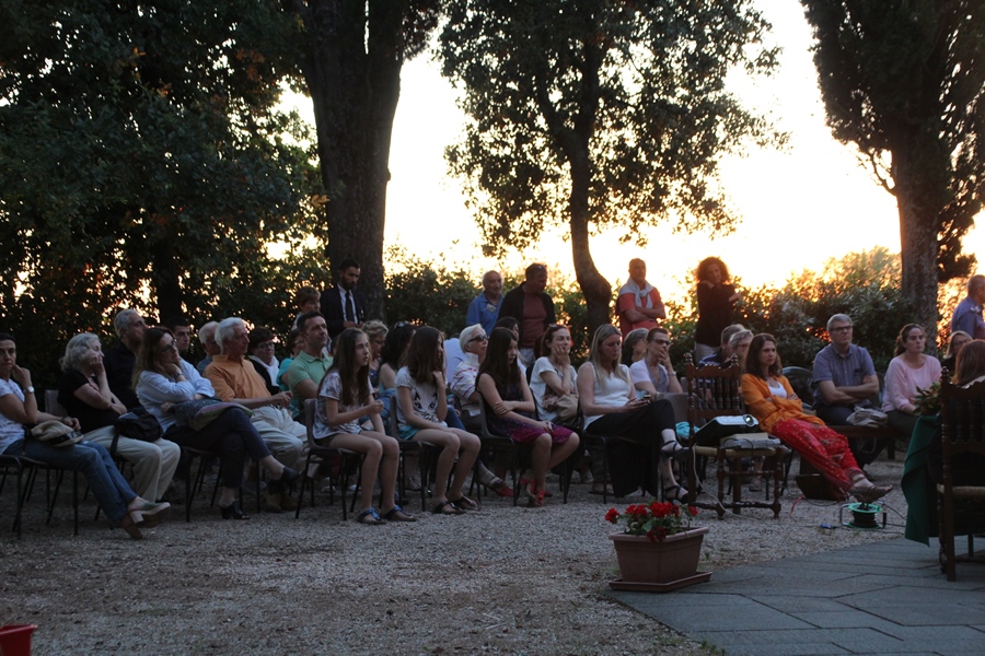
The project is promoted by the Town Union of Chianti Fiorentino, the town of Certaldo, the Regional Council of Tuscany and the University of Florence and was presented at the Duomo of San Michele Arcangelo in Semifonte during the conference, “Semifonte in Valdelsa: Citta’ degli Alberti. Archeological History of a Medieval Myth. The lands of the Vanquished”.
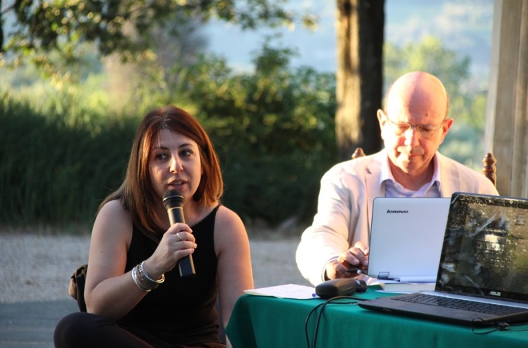
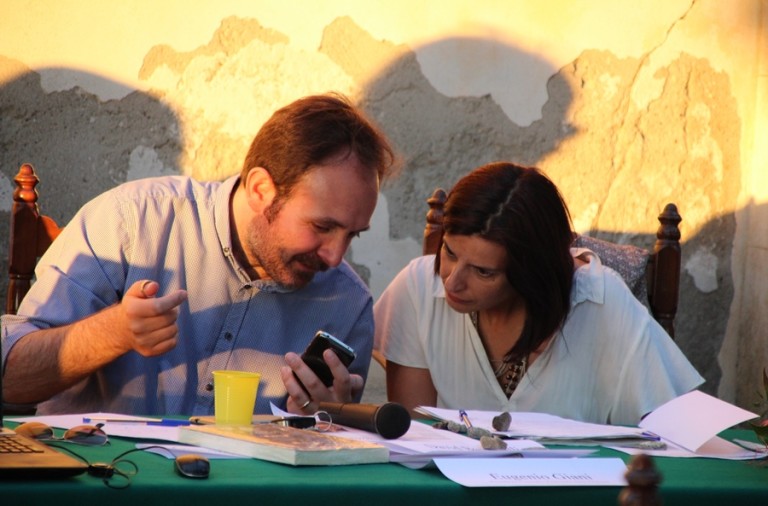
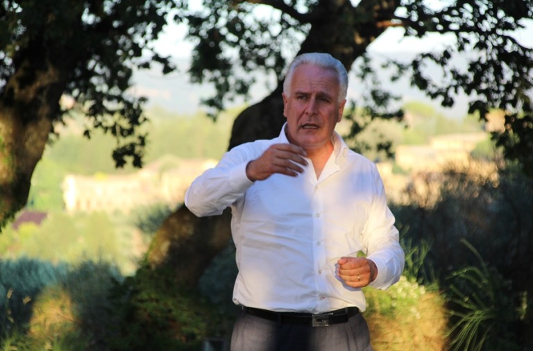
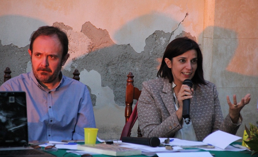
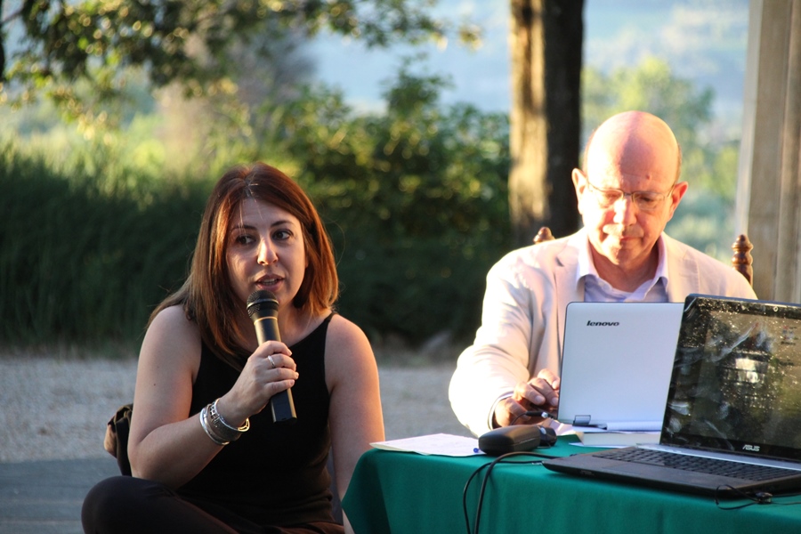
To describe the project are Guido Vannini, director of the School of Specialization in Archeology and Andrea Vanni Desideri and Silvia Leporatti of the University of Florence.
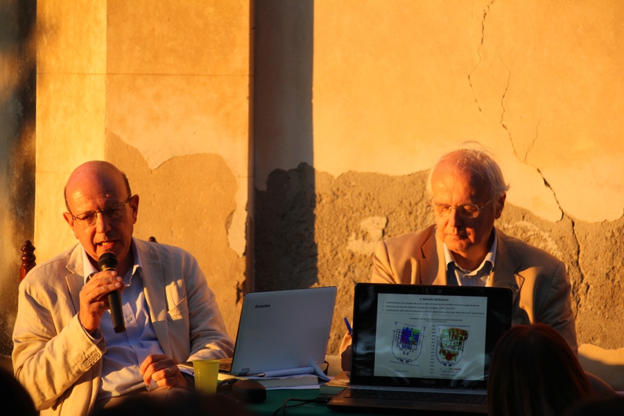
“We don’t know how far Semifonte extended or how and when it was structured”, explain the archeologists. “We are trusting this analysis to a mehtod that Medieval archeology applied in the Middle East. It is a complex reality which puts the dig as an eventual conclulsion, not as a premise of the activity”.
“We will begin”, they announce, “a campaign of archeological diagnostics and geophysics in an experimental form. This uses specific instruments and allows us to verify how the structures under the agricultural territory’s surface were preserved. We will use drones to take aerial photos and the topographic network will be reconstructed through modern remote control aircraft. To reach the final diagnostics, the second phase will be decided by the results of the first”.